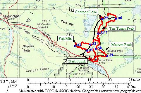
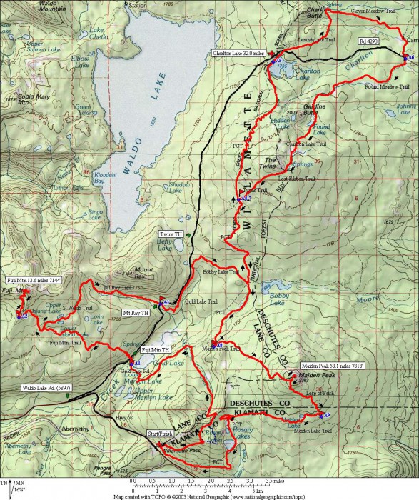
Maps
Course Profile
Higher Level Maps
More Maps and Numbers
- Check out the course on Caltopo where you can export a GPX file
- Printable 8 1/2 x 11″ Color Maps: shaded, not shaded
- If you have National Geographic TOPO software, here is the .tpo file with the course.
- For numbers people, here is an excel file with wheel measurements of entire course.
- Here is a Google Map thanks to Bobby Gill who collected the GPS coordinates during the 2009 race.
- A very cool flyover of the course by Run Scout.


